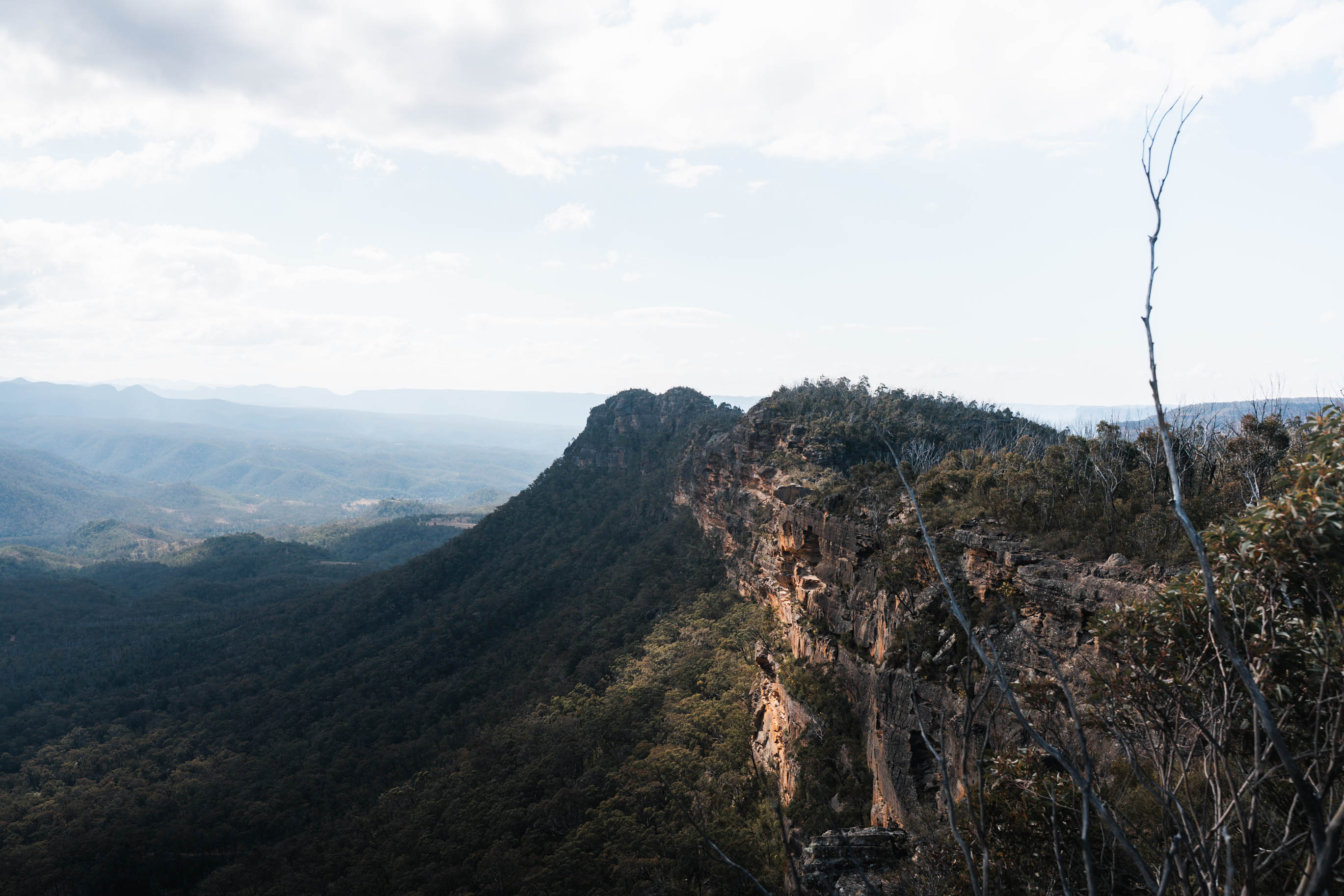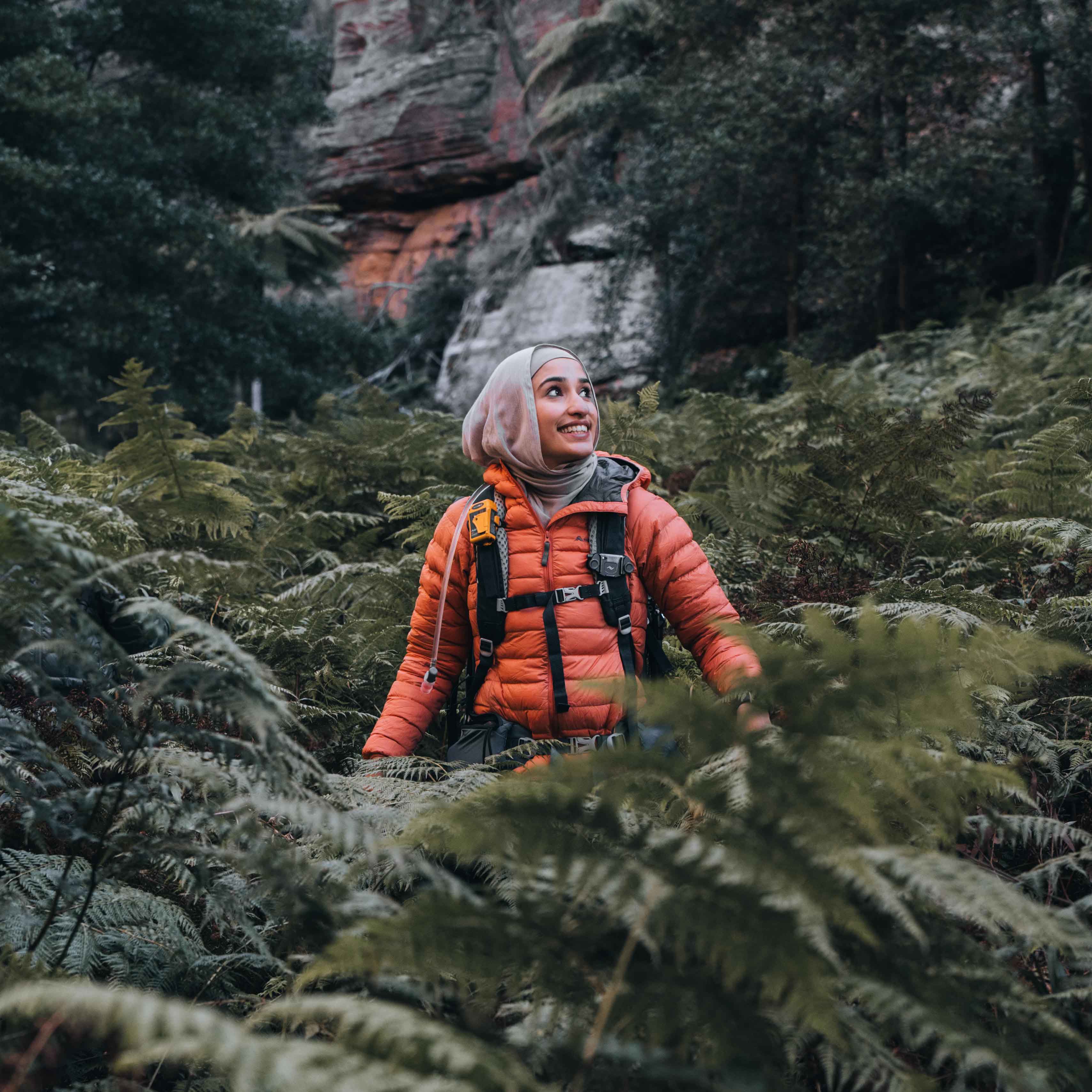



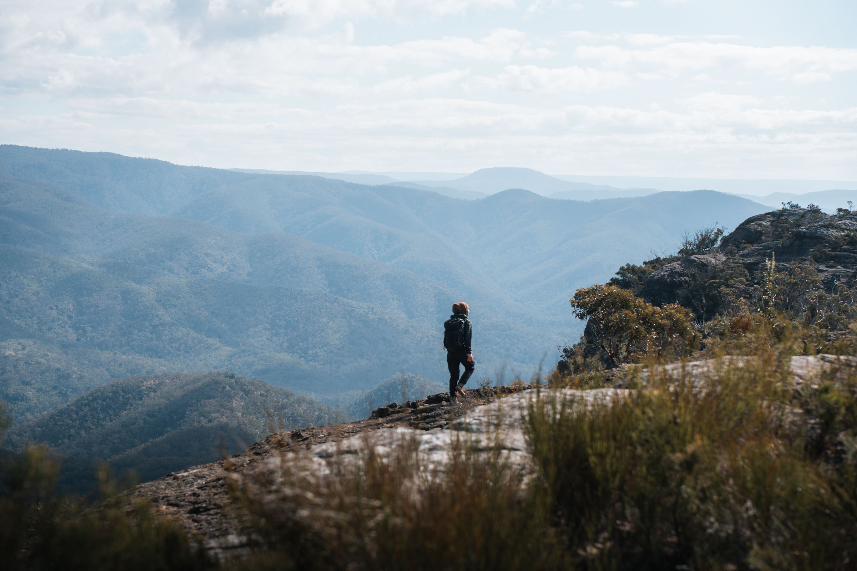
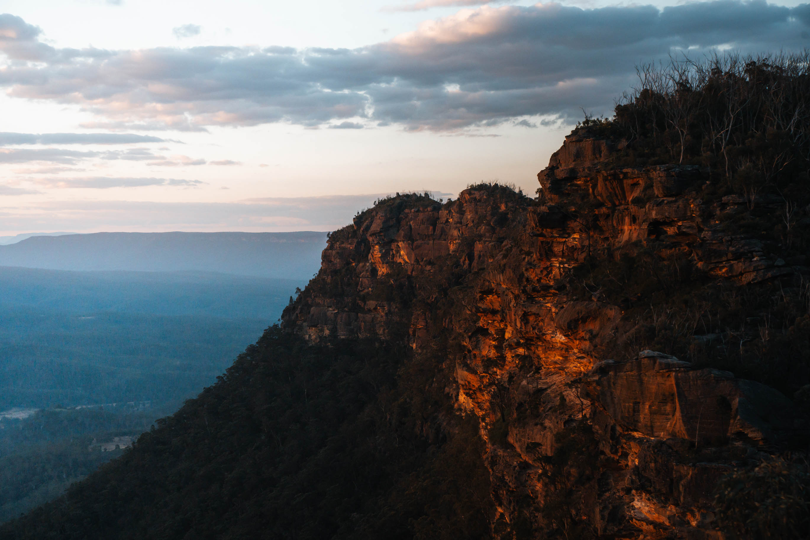
Bonnum Pic sits at the end of a narrow ridge that juts out into the Wollondilly Valley, deep inside Nattai National Park. It is about 80km southwest of Sydney, past Mittagong, and it is personally one of the most spectacular lookouts I have stood on in New South Wales.
It does not get walked much either. Here is what the track was like when I walked it in early August, and the things I was glad I knew beforehand.
Most track notes put this at six and a half hours, and that is about right if you keep moving. I was out there for nine. I stopped at every lookout, had lunch at the end and stayed for sunset, so that is on me rather than the track. But it is the kind of place where you will want the extra time, so give yourself the full day.
What the track is like
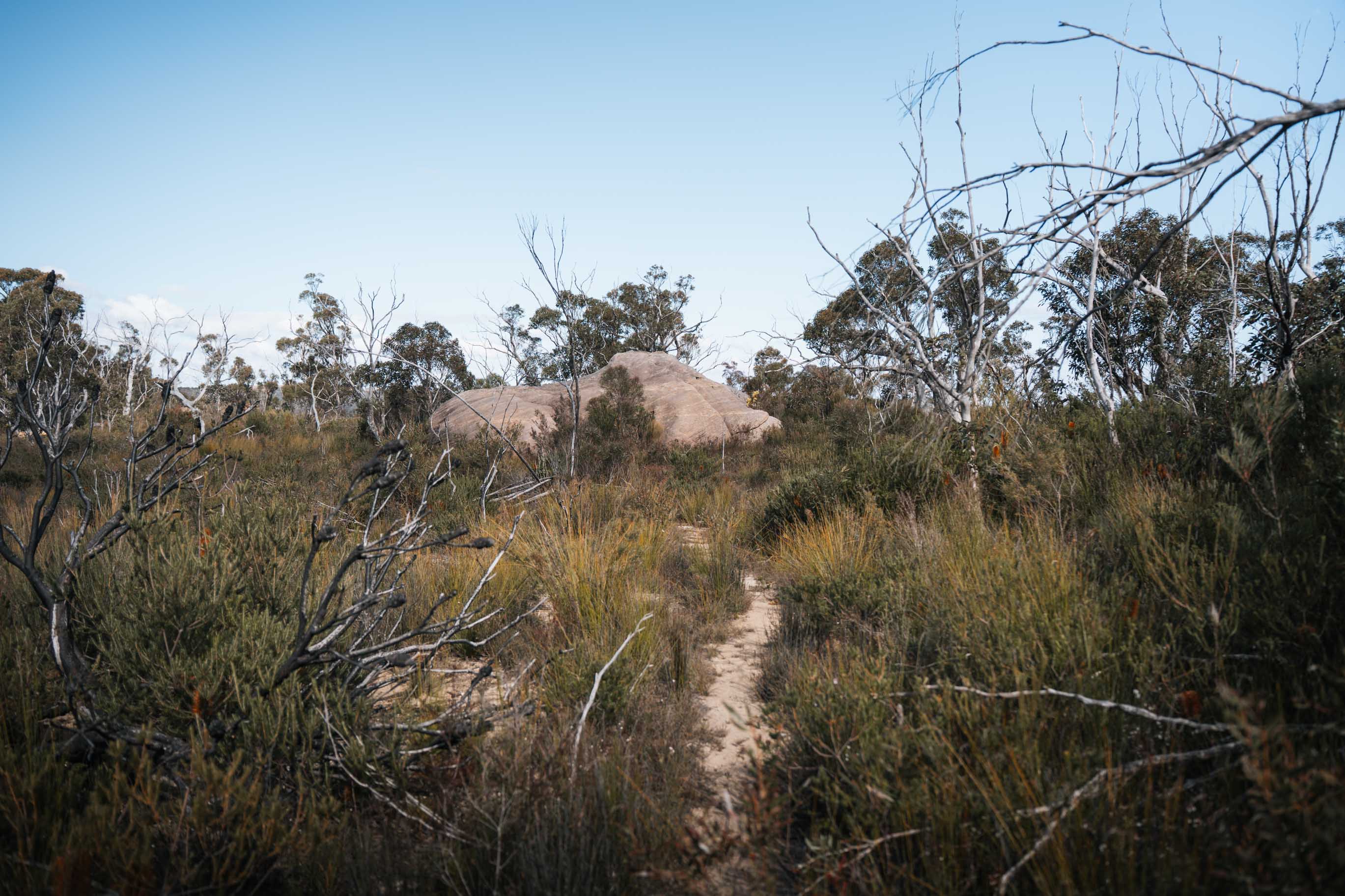
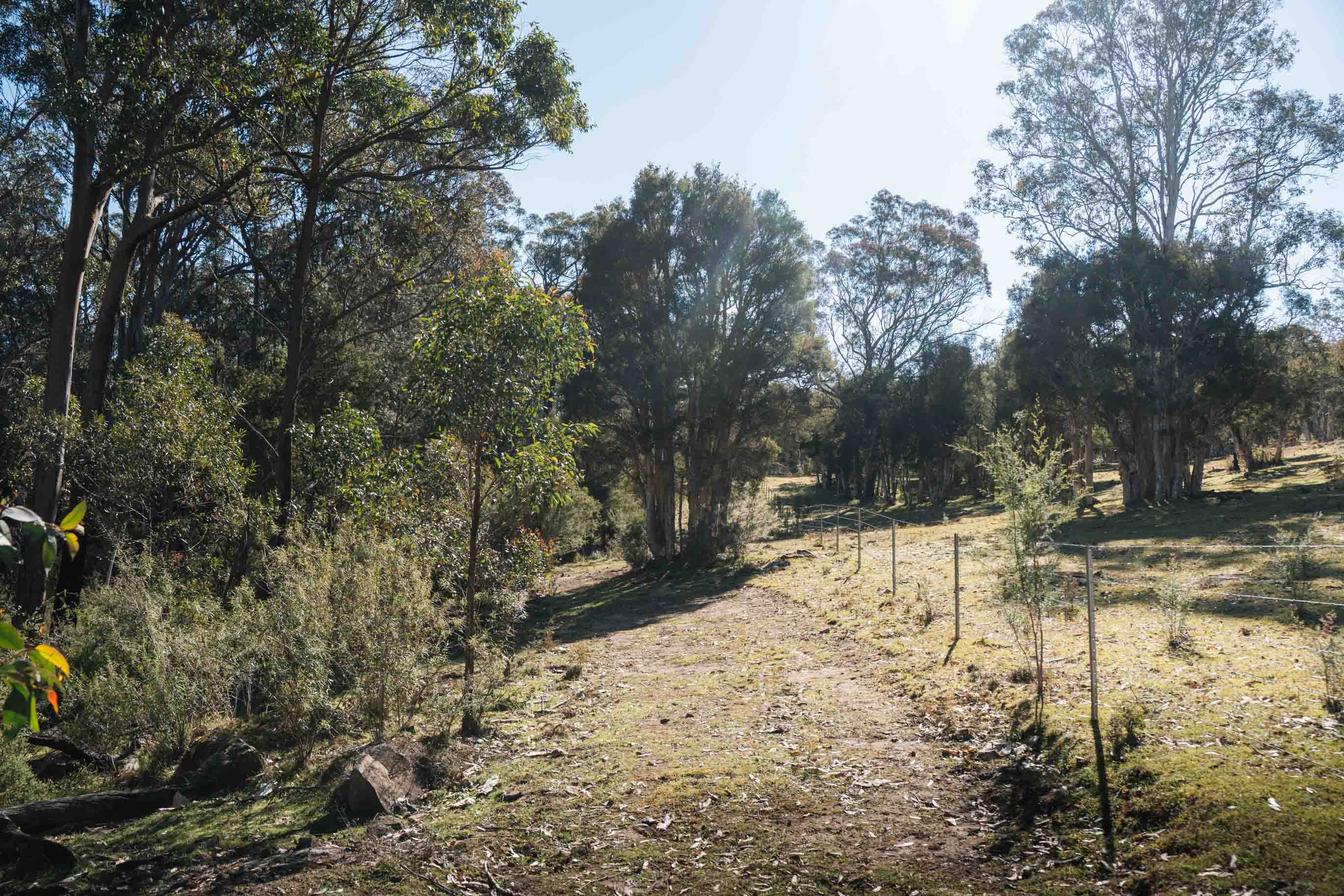
The first section is easy going. You are skirting farmland to start with, following the fire trail and a fence line, and the cows are right there next to the track. Then it turns into a walking track through dry forest, and it feels like a straightforward day out.
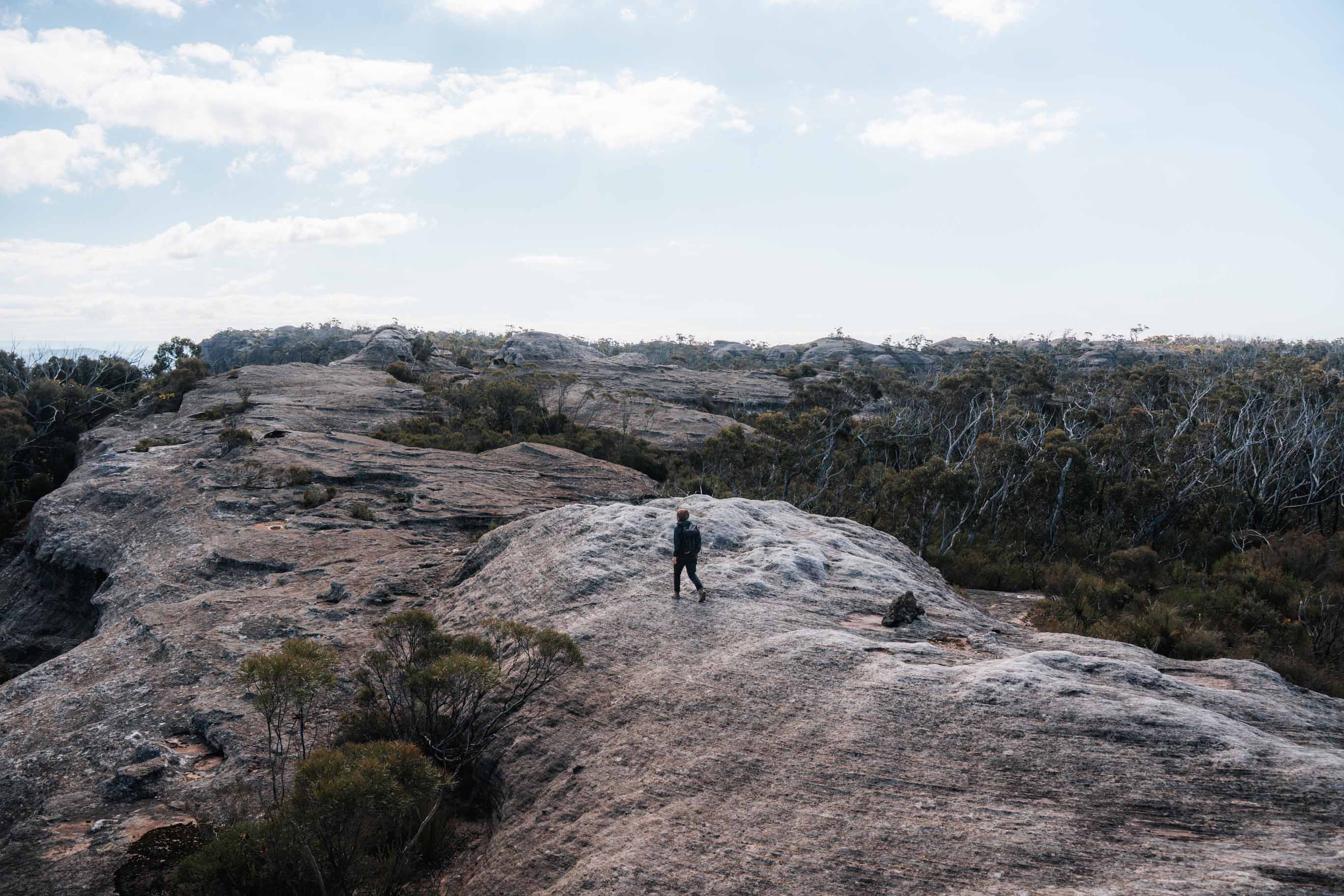
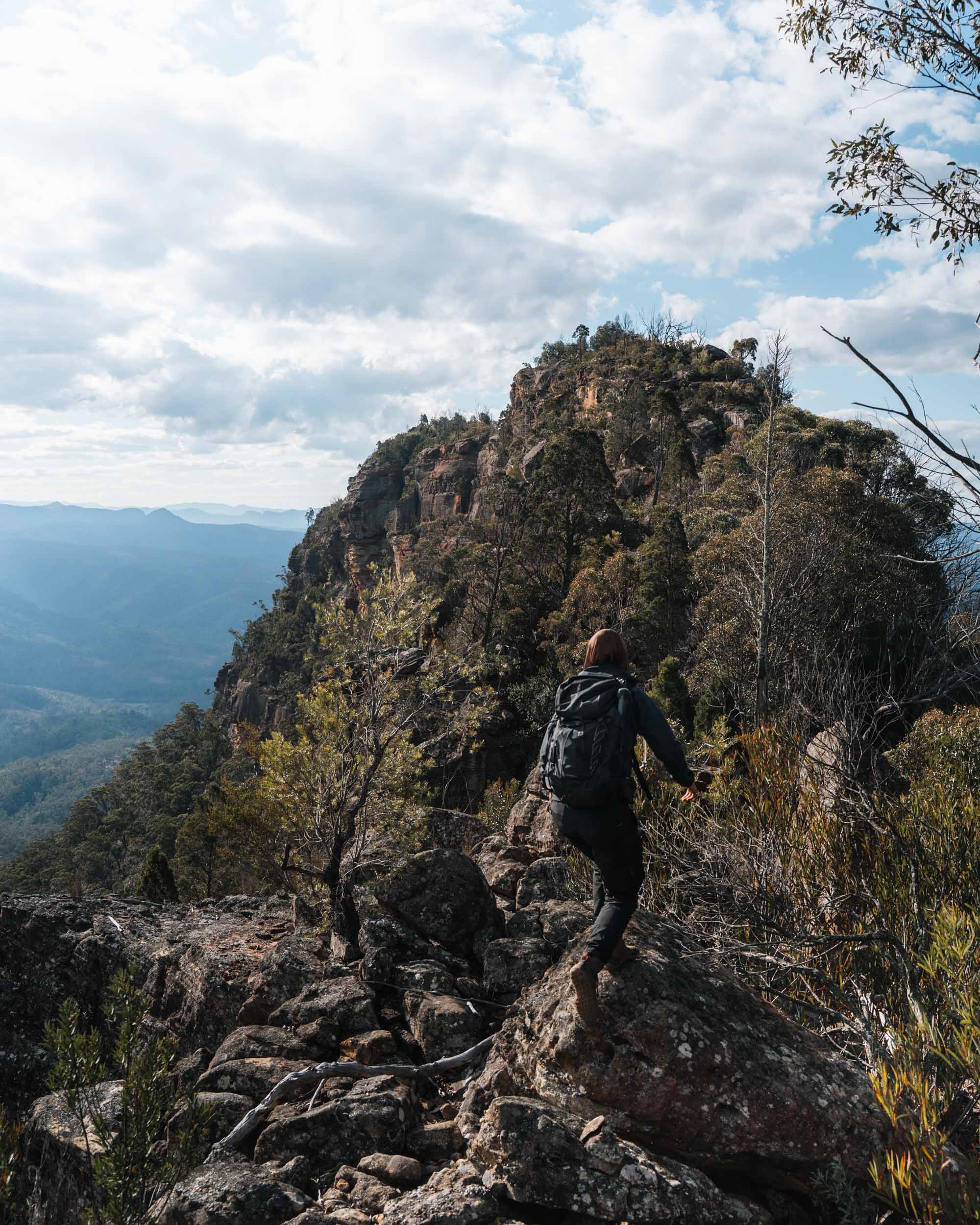
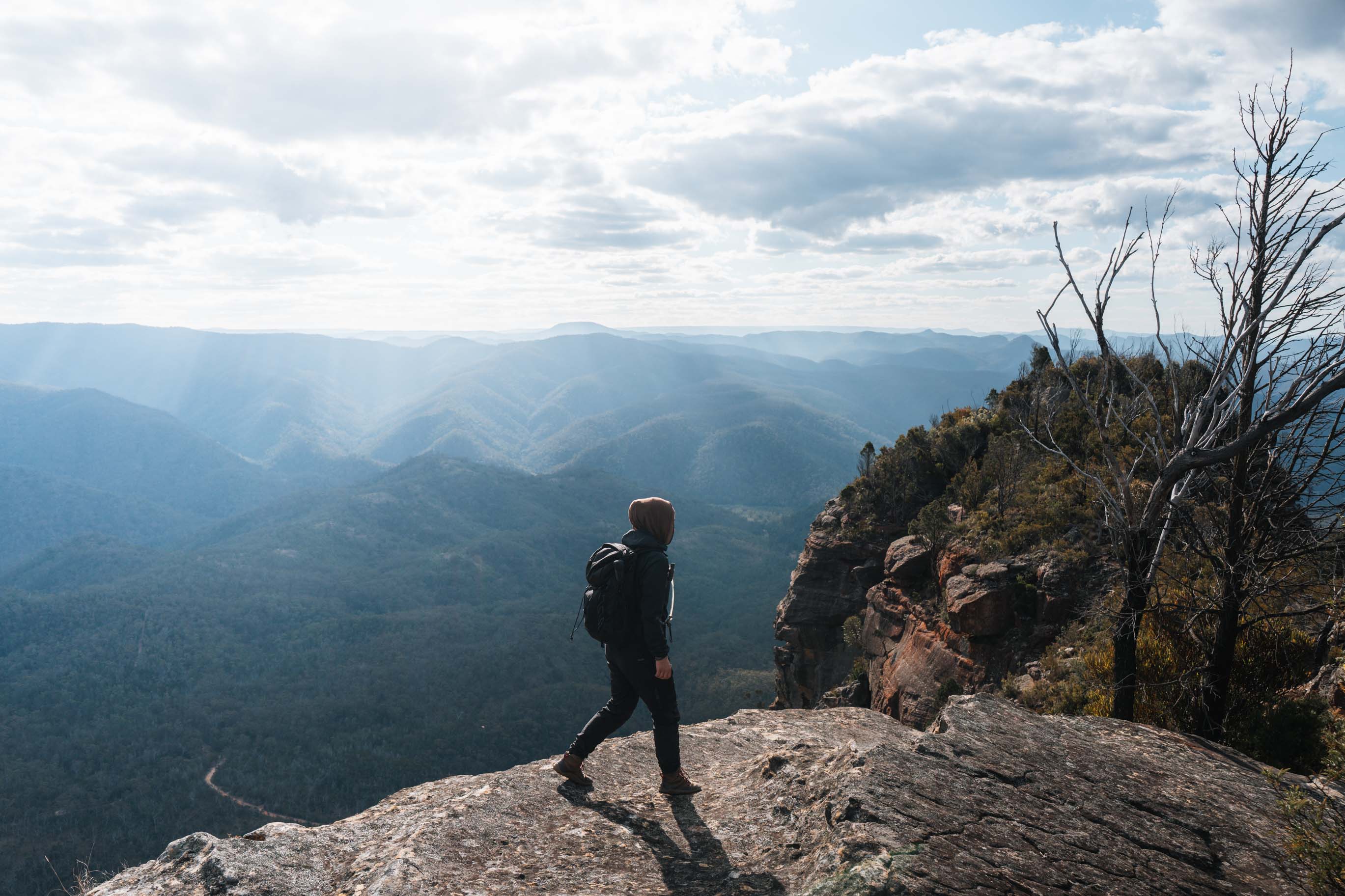
Then the track opens onto the cliff line, and that is where it gets really good. From here you follow the ridge over huge domed sandstone slabs, with the valley dropping away beside you. Some sections put you right on the edge with a clean view straight down. It is dramatic walking and it goes on for some time.
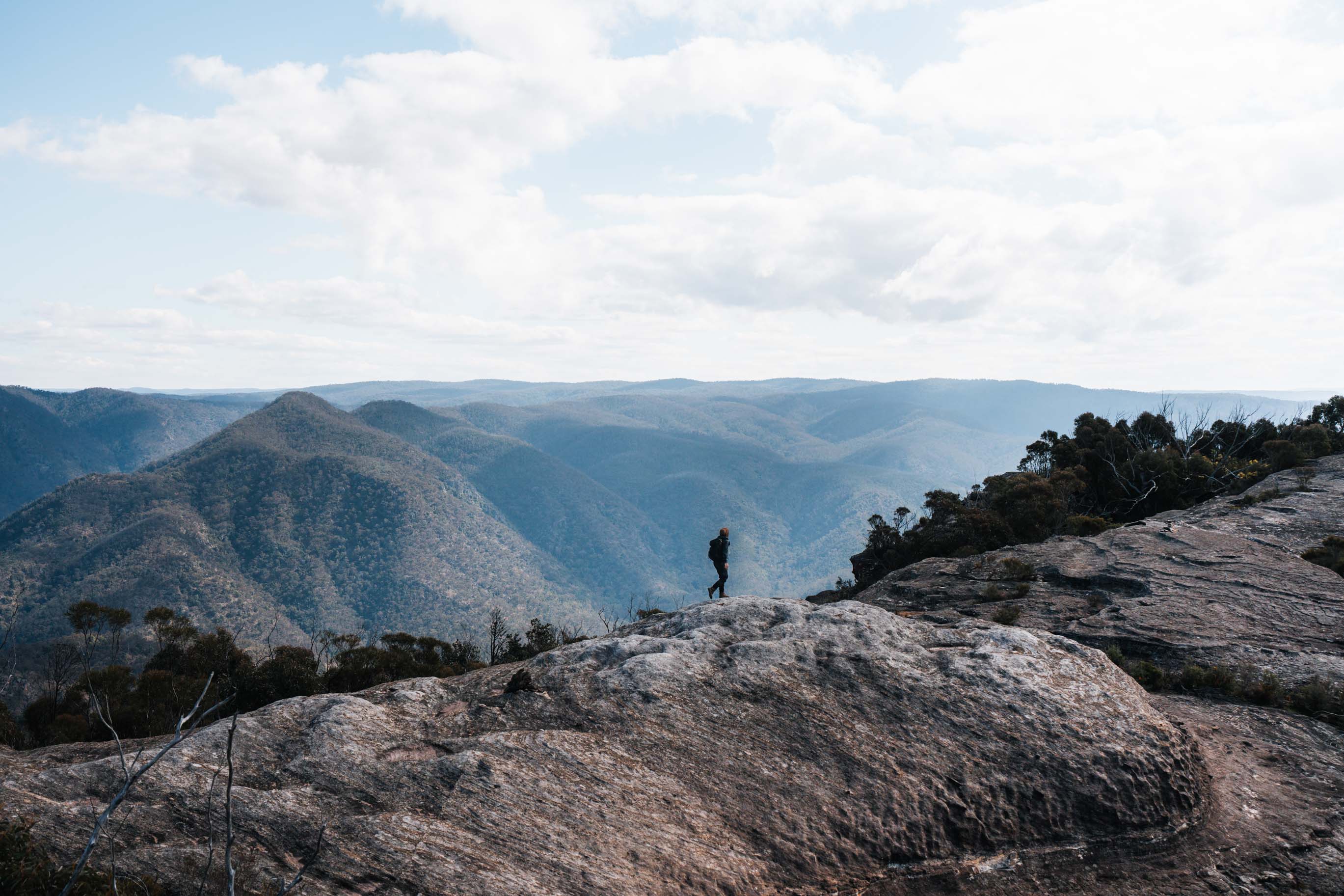
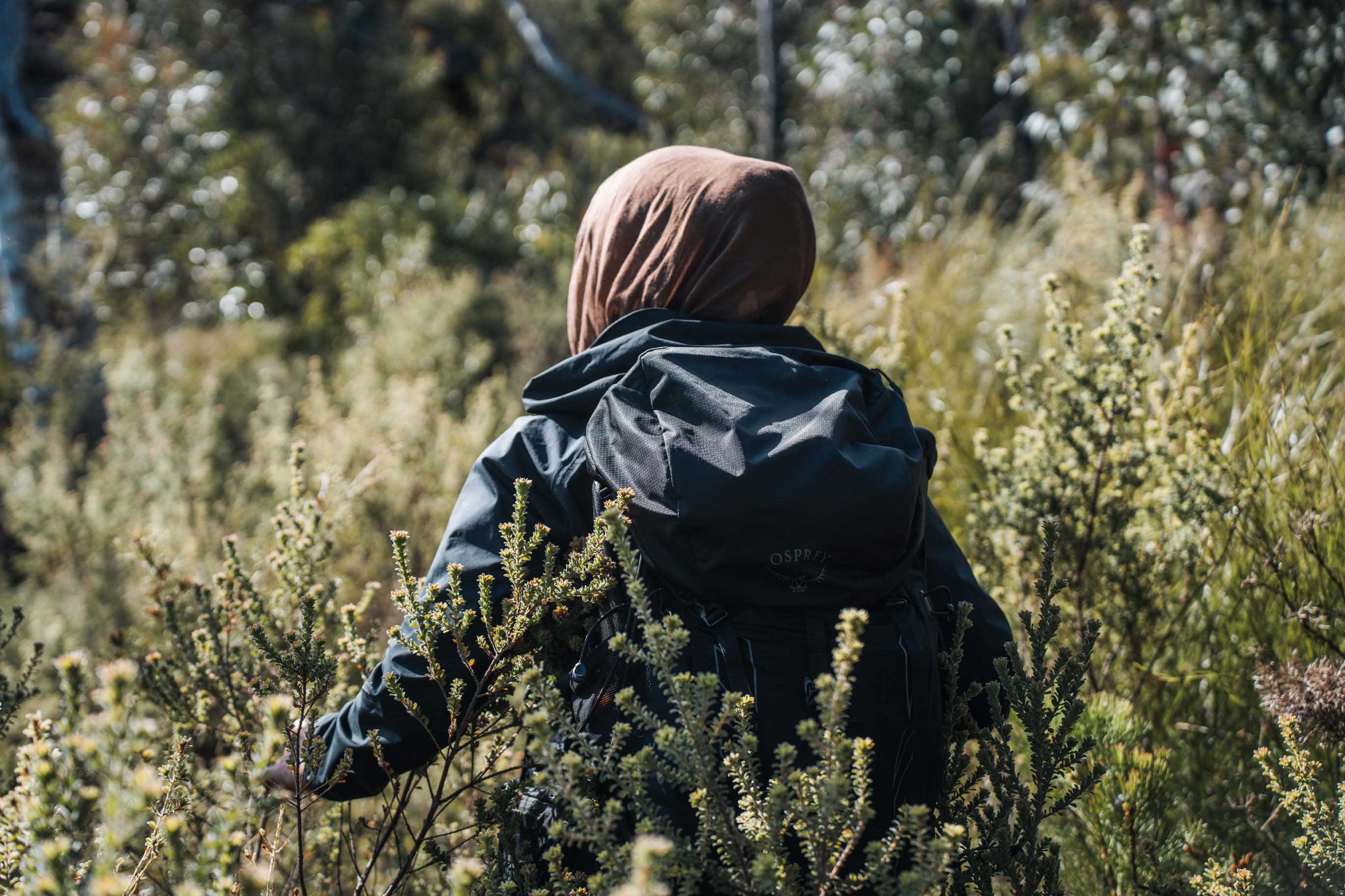
The character of the track changes here too. You are not on a formed path anymore. You are making your way across open rock, and there are currently plenty of cairns, which helps. There is no signage out here, and the route is easy to lose if you are not paying attention. The middle section was the hardest to follow.
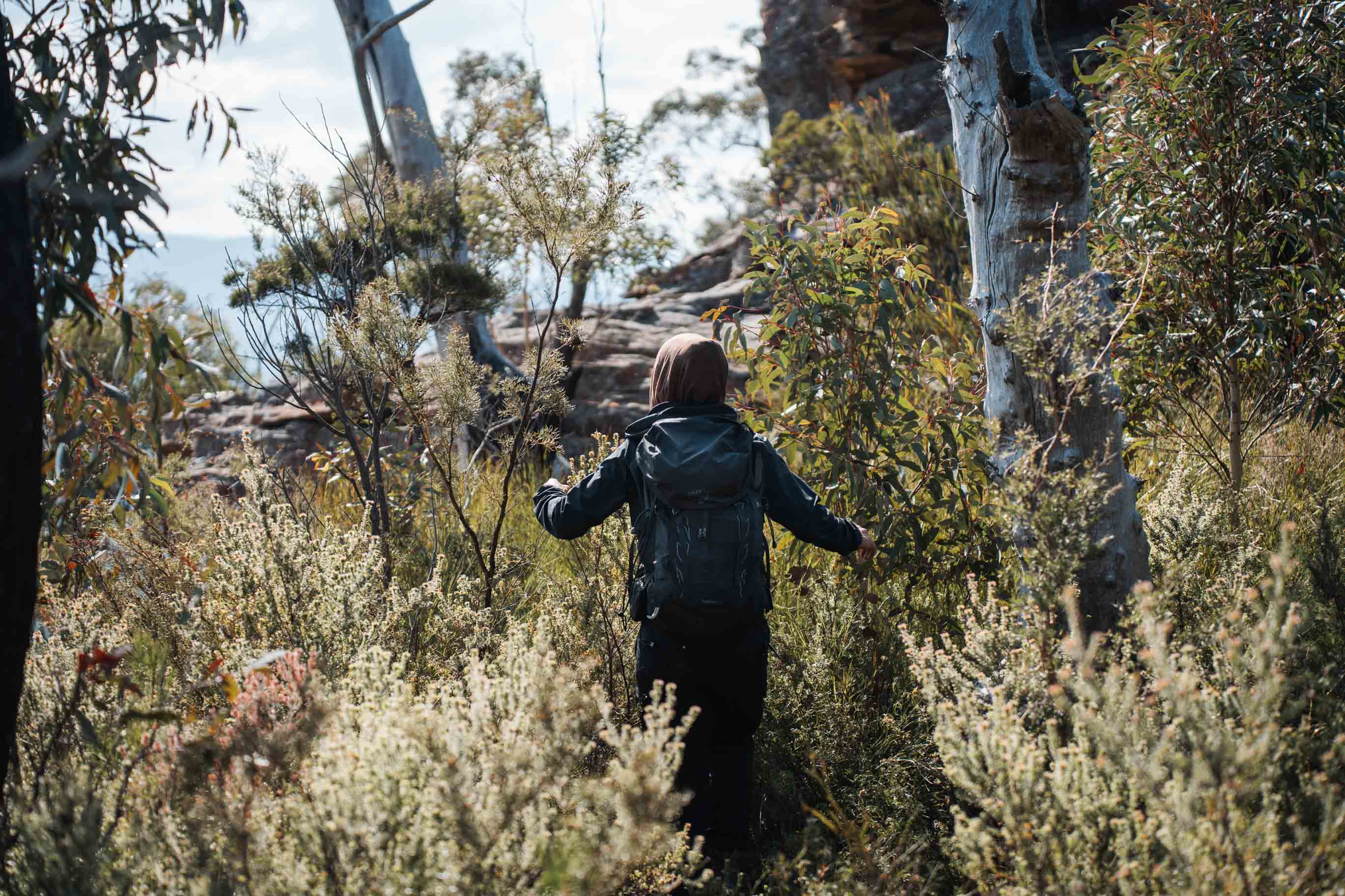
There are some overgrown stretches where the scrub has come back in. Nothing impassable, but long pants definitely help.
Towards the end the ridge narrows right down. You stay on top of it almost the whole way, but there is one point where you have to drop below the top cliffs on the eastern side, which is your right heading out, then scramble straight back up the rocks opposite.
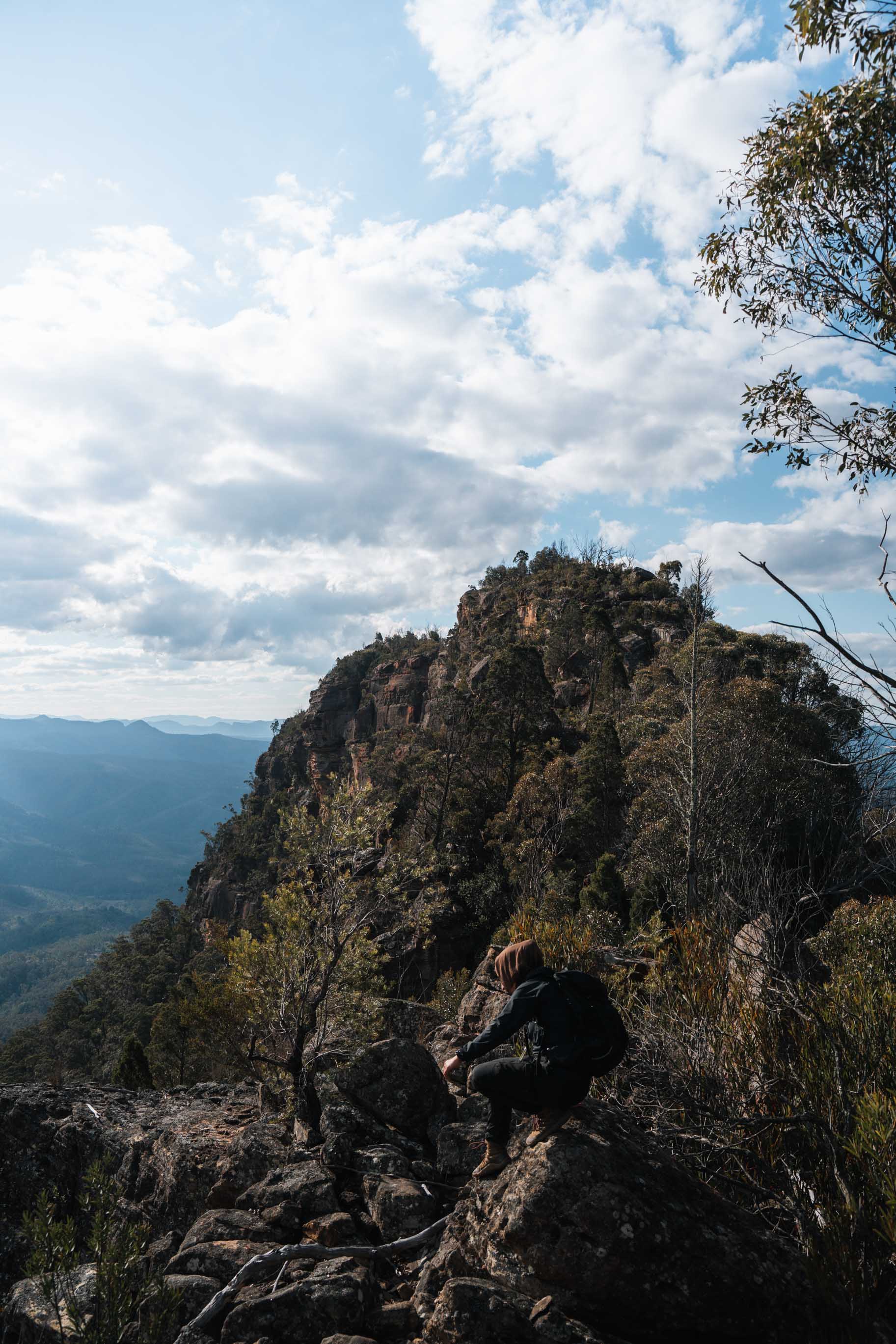
The slide of death
The final 100m out to the actual point is a section people call the slide of death, and having seen it, the name is fair.
It is an exposed downclimb with sheer drops on both sides. It is also harder to get back up than it is to get down, which is the part that makes it a real decision. Most track notes mention carrying rope for this section.
I did not have a rope with me, so I stopped there.
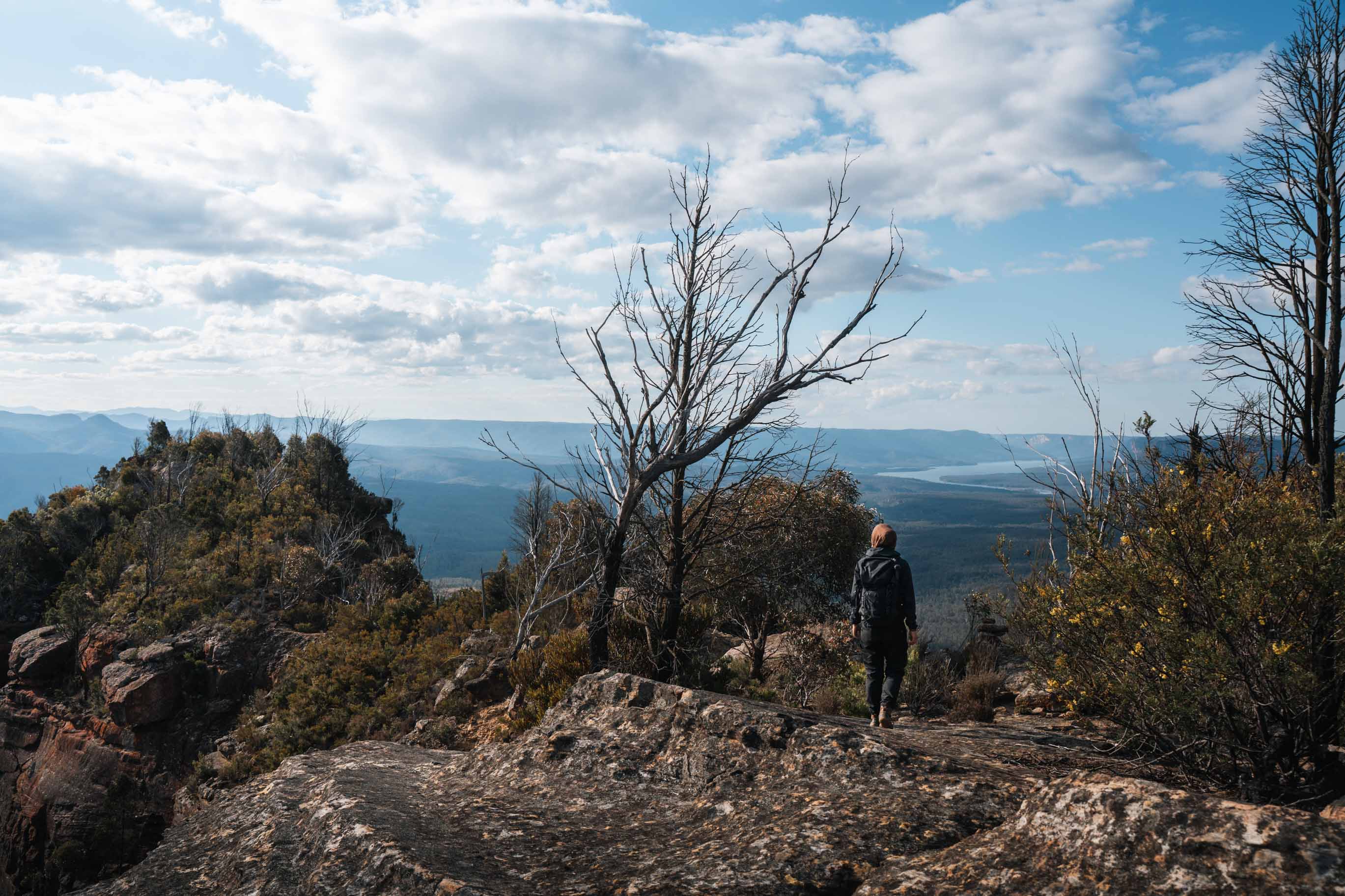
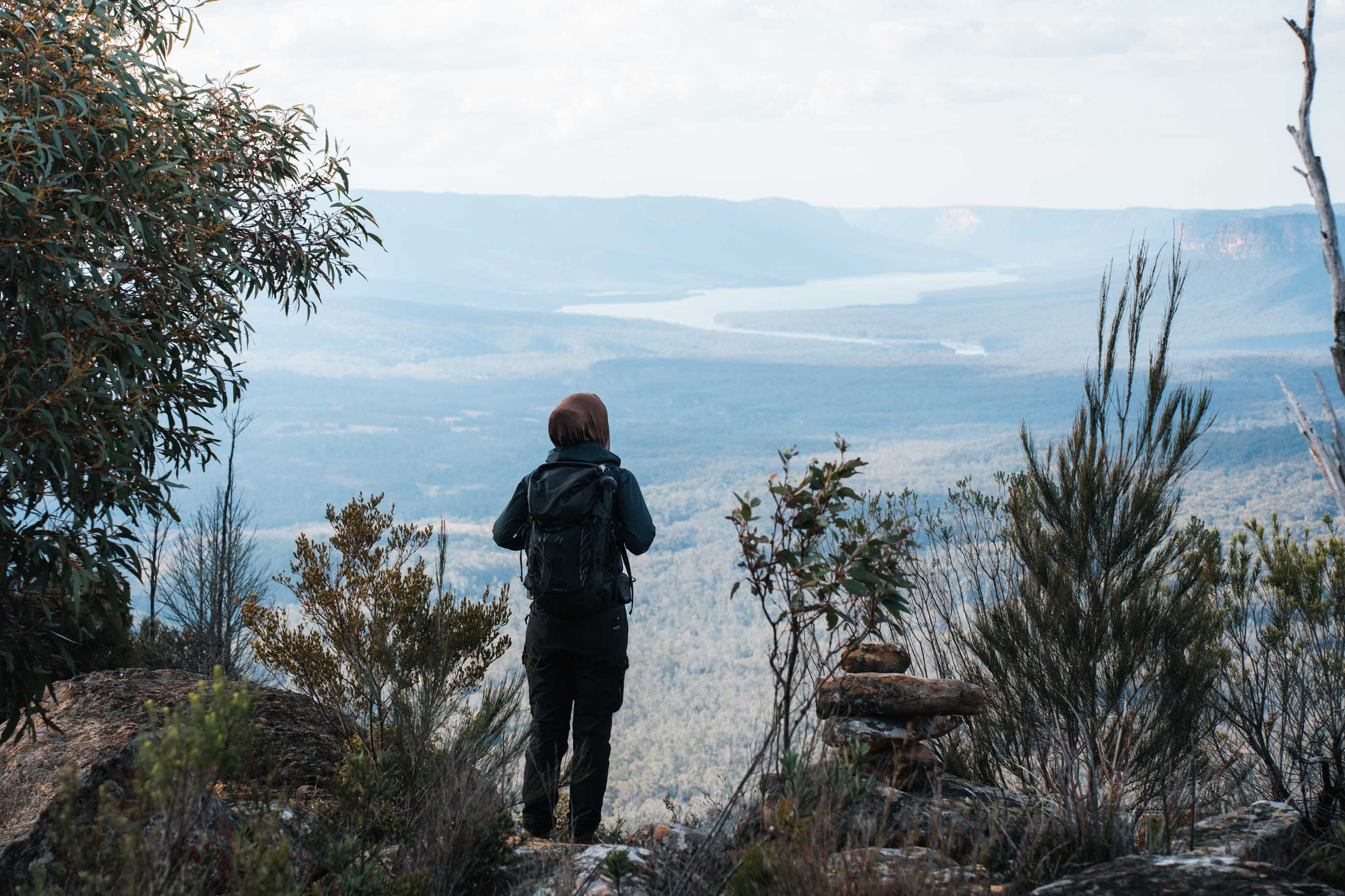
It did not feel like missing out. The views from where I stopped were completely open, and you can see the whole valley, the cliffs and the lake from the ridge before the downclimb. Plenty of experienced walkers get to that spot and turn around.
The views
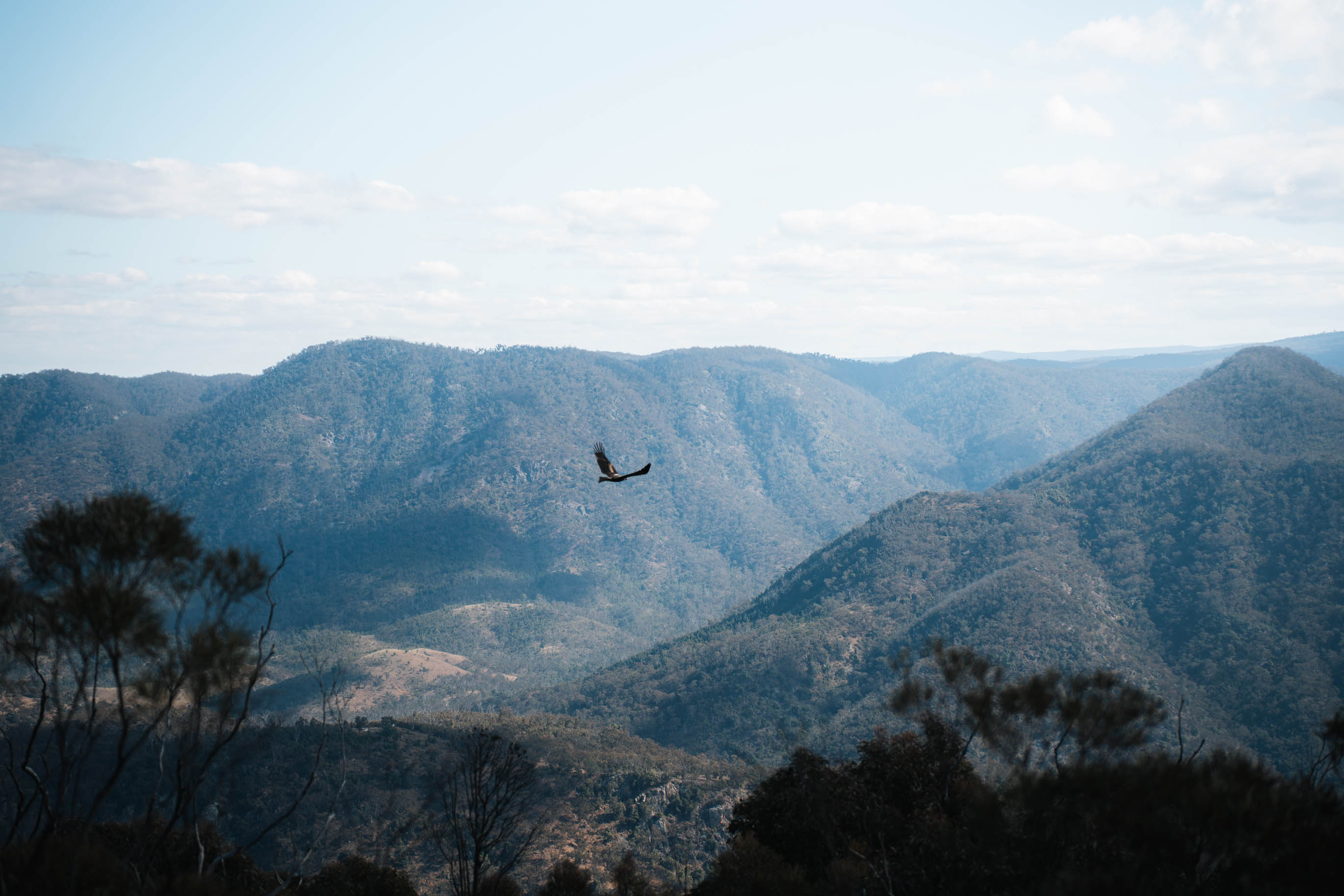
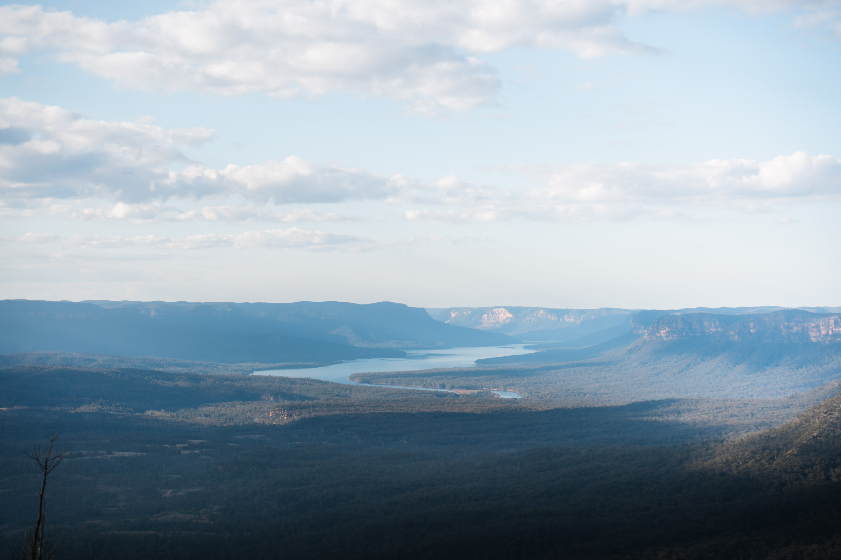
You are looking out over the Wollondilly Valley, across to the Wanganderry Walls running along the opposite side. Beyond that is Lake Burragorang, the reservoir behind Warragamba Dam, which supplies around 80% of Greater Sydney’s drinking water. On a clear day you can see out to Mount Colong.
Navigation and phone signal
There is no reliable phone signal for most of this walk. I had offline maps downloaded before I left the car and the route loaded on my watch.
The route is marked by cairns rather than signs, and cairns move. Some get knocked over, some get built in odd places. You'll need to pay a lot of attention along the route.
I also always carry a Garmin inReach. With no reliable phone signal, I’d strongly recommend carrying one or a PLB.
Staying for sunset
I stayed out on the ridge for sunset, which meant walking the final 6km back to the car in the dark.
I would do it again, but it is worth knowing what it involves. Following cairns across open rock by head torch takes a lot more concentration than it does in daylight. I had a good torch, and I had a warm layer for the temperature drop, which comes fast once the sun goes.
How difficult is Bonnum Pic?
The fitness side of this walk is moderate. The navigation is the harder part, and that is where I would think about whether it suits you.
If you are comfortable off track, can read a map, and have spent time on rocky exposed terrain, you will probably love it. If unmarked trails are new to you, this is a big one to learn on, with cliffs on both sides and no phone signal to fall back on.
Final thoughts
A solid 10 out of 10 for me. I loved everything about this one.
It is hard to find something this dramatic that hardly anyone walks. The ridge, the sandstone, the drop into the valley and that view over the lake make it feel much further from Sydney than it actually is.
A clear winter day and a full day to do it in, and it is one of the best days out you can have this close to the city.